It only recently occurred to me that this relatively inexpensive product ($109 USD) had a great application for bringing GIS images to life.Here is a simple map of the Southeast USA by state, as it appeared as a saved image from MapInfo Professional:
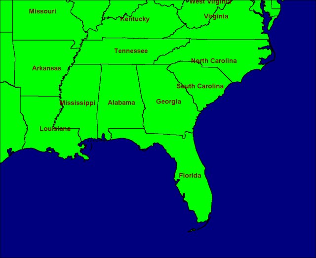
Before (Click image to enlarge)
A few minutes later, I have a new and improved version with a seamless ocean waves fill pattern, a light-to-dark green gradient fill over the land, drop shadows of all the border lines, and a white 'glow' around the text:
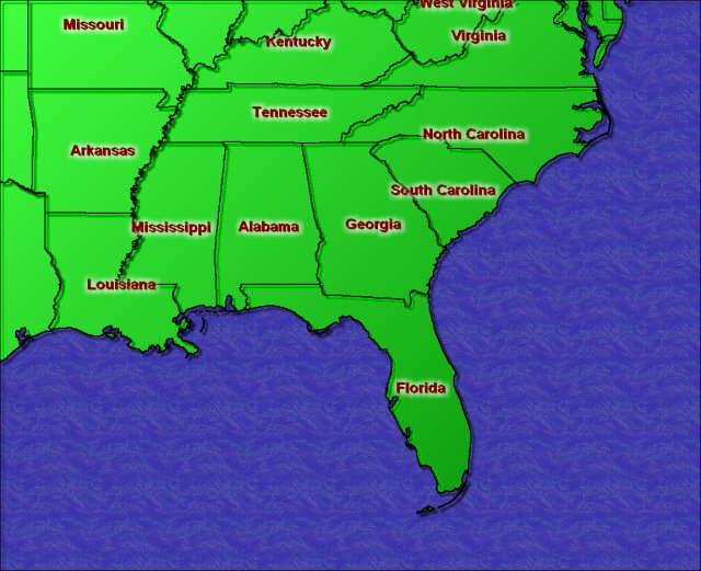
After (Click image to enlarge)
This example above could have been done simply by using the Flood Fill tool, but one would have had to click in each of the regions to get the desired effect.Since there are several discontinuous patches color, a combination of selection, layer, mask and fill commands were used.The Flood Fill tool can do...
- Solid Colors
- Patterns (Bitmap fills, like the ocean in the above example.)
- Gradients (Linear, Rectangular, Sunburst, Radial)
|
Here are a few more examples of what you can do with this software. The image at right is a capture (using Paint Shop Pro) of the Effects menu.While some of functions may not have any real value to GIS images, the majority can make a striking difference in the appearance of your maps. Aside from Effects, there are a number of Deformations you can apply, many nice 3D Frames to wrap around your image and many image editing and color processing tools. | 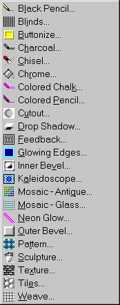
|
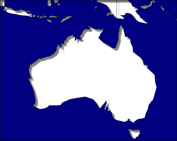
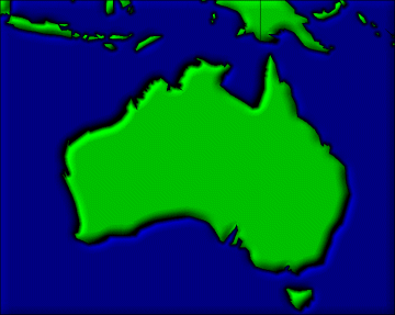
Cutout effect applied to the land masses.
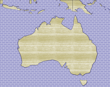
Flood Fill with a brick texture applied to water, and a wood texture for the land.
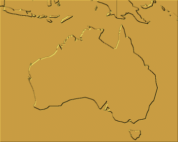
Outer Bevel effect applied to everything.
Sculpture effect applied to everything.
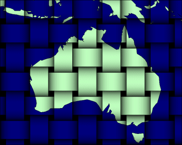
Weave effect applied to everything.
If there were text or symbols on these maps, it would be best to select them and put them into another layer until you are through with changes to the rest of the map, then apply the text back.Then you may make any changes to the text and they will be blended in over the background.
I hope this shows you that there are inexpensive ways to "dress up" your maps.Go download Paint Shop Pro's limited evaluation copy at http://www.jasc.com and give it a try.If there is enough interest I'll write more of a how to column.And be sure to let me hear tips of your own that we might share with other readers.