AI And Satellite Data Advance UK Biodiversity Risk Assessment


A pilot backed by the UK Space Agency has paired Earth Observation imagery with artificial intelligence to help insurers evaluate nature-linked risk and respond to emerging biodiversity rules across the UK, while supporting sustainability goals.
Project Delivery and Platform Development
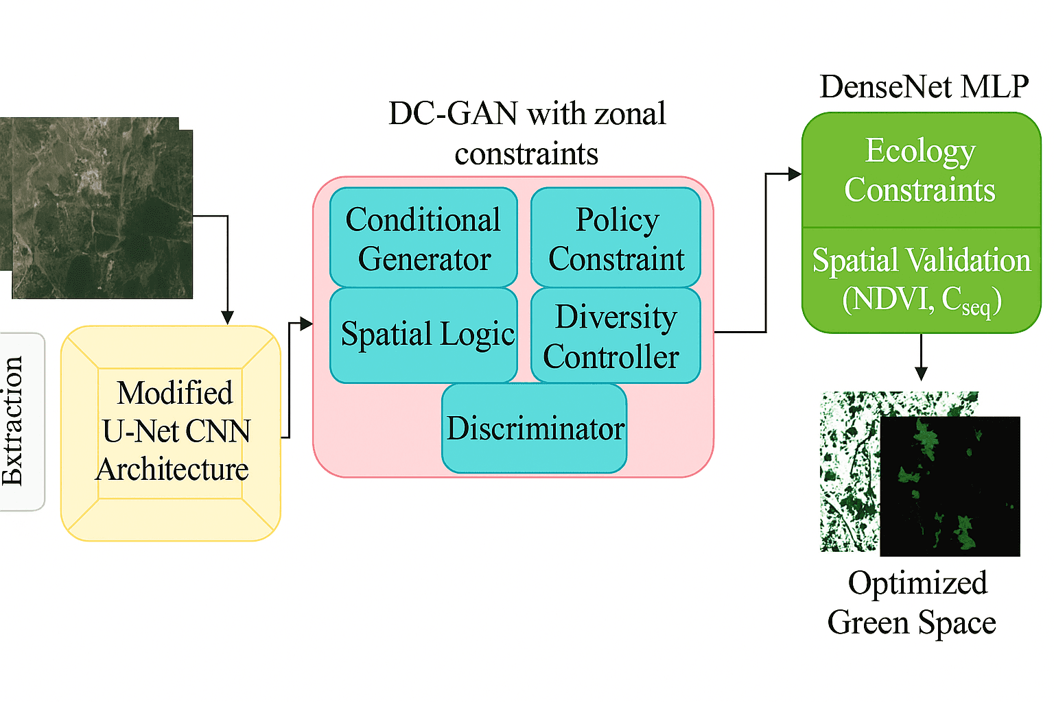
CATALYST, part of PCI Geomatics and known for Earth Observation analytics, worked with DUAL, a major international underwriting agency, to complete a trial focused on measuring biodiversity risk throughout the United Kingdom. Using satellite-derived data and AI, the initiative generated practical information on habitat condition, species pressure, and wider ecosystem change.
Supported by the UK Space Agency’s Unlocking Space for Business programme, the six-month effort was led by DUAL’s climate risk and resilience team. The result was a scalable biodiversity assessment platform for underwriting, ESG disclosure, and regulatory alignment. In general, a biodiversity assessment platform brings together ecological data, geospatial analysis, and reporting tools so organizations can monitor habitats and species, score risk, and document how nature-related issues affect assets, portfolios, and operations.
Beyond satellite inputs, such platforms may also combine field survey results, historical records, remote sensor feeds, and other structured biodiversity datasets to improve coverage and reduce blind spots. They typically measure impact through mapped indicators, baseline comparisons, trend analysis, and risk scoring systems that help users compare locations and exposures over time.
The platform can also strengthen compliance and database-led reporting by automating recurring disclosures, organizing evidence for internal review, and aligning outputs with sustainability and nature-risk frameworks used in underwriting and investment processes.
| Reporting Area | Purpose/Use Case |
|---|---|
| Climate Exposure | Supports underwriting decisions by linking ecological conditions to location-based risk. |
| Sustainable Development | Helps document how projects or assets affect habitats, species, and ecosystem resilience. |
| Investment Decisions | Provides decision support tied to ecosystem service performance, ecological resilience, and conservation priorities. |
Common platform features include data visualization, habitat and species dashboards, risk scoring, map-based screening, compliance tracking, report generation, and integration with internal underwriting or ESG systems. Typical modules focus on habitat mapping, species monitoring, compliance tracking, exposure analysis, and portfolio-level reporting. The partners plan to keep improving the resource as part of DUAL’s wider environmental innovation strategy.
Why the Pilot Matters for Insurers
According to Simon White, lead underwriter for climate risk and resilience at DUAL UK, nature-related risk can now be tracked and quantified far more effectively, creating new options for underwriting and exposure management. He said the pilot showed how satellite analytics and machine learning can turn biodiversity impacts into decision-ready insight, giving insurers and asset owners more consistent and auditable monitoring at scale.Standardized, scalable biodiversity assessment tools can make nature-related compliance and risk management more practical by turning fragmented ecological data into consistent evidence for underwriting, reporting, and long-term planning.
That approach can support a stronger foundation for:
- Risk transfer
- Disclosure
- Long-term resilience
- IBAT-style screening
- Habitat mapping
- Threatened species information
- Extinction trends
- Key Biodiversity Area analysis
- Benchmarks often referenced by groups such as the World Wide Fund for Nature and the IUCN Red List
In practice, this kind of biodiversity tool can help insurers better understand ecosystem stress, species sensitivity, and sustainability expectations as regulation evolves. It can also improve data standardization, quality checks, and interoperability across different biodiversity sources, helping users work around gaps in field coverage or inconsistent formats.
Beyond the partners in this pilot, the wider biodiversity assessment platform space includes geospatial analytics firms, conservation data providers, remote-sensing specialists, and insurance technology partners that supply mapping, screening, and nature-risk intelligence. Looking ahead, priorities are likely to include more automation, faster updates from mixed data sources, stronger policy alignment, and near-real-time monitoring that gives insurers a clearer view of biodiversity change as conditions shift.


